
Surveying and Mapping Technician
Surveying and mapping technicians collect and analyze data to find the exact locations of natural features, buildings and property boundaries. They travel to field sites to take measurements while working closely with surveyors. They use tools like GPS, geographic information systems and computer-aided design (CAD) software to create accurate maps that support construction, farming and environmental projects.
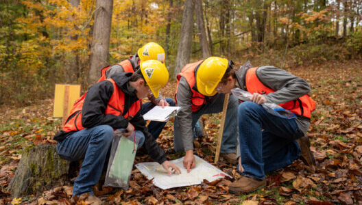
What Responsibilities Will I Have?
Visit sites to take survey measurements and collect field data
Operate surveying instruments, including electronic distance-measuring tools (robotic total stations )
Locate and set survey markers and points
Calculate angles, elevations and distances from survey data
Prepare drawings, charts, maps, plans, records and reports
Organize records, measurements and other survey information
Enter field measurements into computer systems
Process aerial and satellite imagery for mapping
Use GIS and CAD software to create and update maps
Maintain and calibrate surveying equipment
Clear brush and debris from survey lines
Transport, maintain and set up surveying equipment
Follow safety procedures during fieldwork
Communicate data and findings to surveyors and cartographers
Recommended High School Courses
The following high school courses are recommended: agricultural education, mathematics, physics, computer science, geography and earth sciences.
Education/Training Required
A high school diploma is necessary; however, postsecondary education or GIS experience is often preferred by employers.